Scotswood, Newcastle
Scotswood Railway Station
Last Updated:
5 Dec 2022
Scotswood, Newcastle
This is a
Railway Station
54.968826, -1.686569
Founded in
Current status is
Demolished
Designer (if known):

Closed and now disused.
NEHL - Scotswood Station was a principal junction station on the Newcastle and Carlisle Railway as well as the branch to North Wylam. The south platforms opened in 1839 at the same time as others on the line, to service passengers towards Elswick where the line terminated. The North Wylam platforms opened in 1875. These platforms were at a higher level than the Blaydon ones, so they could traverse over the Scotswood Bridge.
The station was a busy one in the 1890s. Nearly 145,000 tickets were sold in 1895, though services declined as motorised transport seeped into the public consciousness. By the 50s only 17,180 tickets were sold, leading to a less and less frequent service over the years.
By 1982 the route over the Scotswood Bridge closed, and trains were diverted onto their current route via Dunston. Though the Scotswood Bridge remains, tracks were lifted and it now only provides a crossing for utility pipes.
There are some remains still extant at the station, such as entrance steps, bridges and the cobbled underpass. The alignment towards the tunnel and the tunnel itself can still be seen, though this is bricked up.
Listing Description (if available)


You can see the contrast between these maps from 1864 and 1908 quite quickly as the platforms to Newburn and North Wylam were yet to be constructed. Scotswood was fairly isolated from the rest of Tyneside at this point, pre-dating much of the industry we associate with the area. It was a fairly small village to the west of the station, and would have been a 10 minute or so walk to reach it.
The 1900s town plan paints a picture we are more familiar with. The station is at it was until the 80s, with terraced housing and public houses lining the streets. Most of the amenities south of the station were demolished with the new Scotswood Bridge opening.

Ordnance Survey, 1920. Much is still the same on this map since 1908, though the tramways have extended westwards through to Newburn. Further terracing was also being built north of the station, with industry at its epoch in the south.

Scotswood Station in 1957. Semaphores operated throughout its lifetime. The gradient between platforms are evident in this photograph looking west. Source: Newcastle City Council

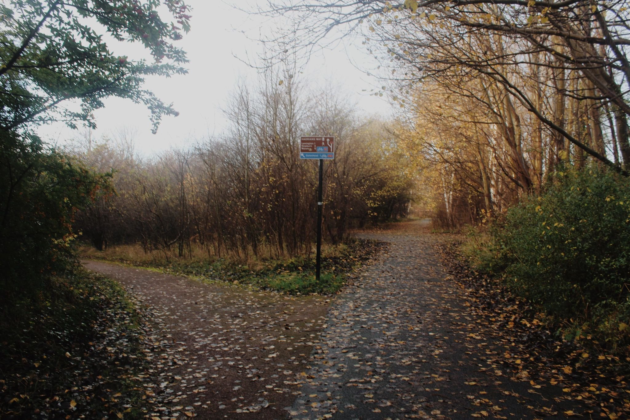
The same perspective as the 1957 photo above looking westwards. Little can be traced except the footpath on the right follows the original path of the line to Newburn.

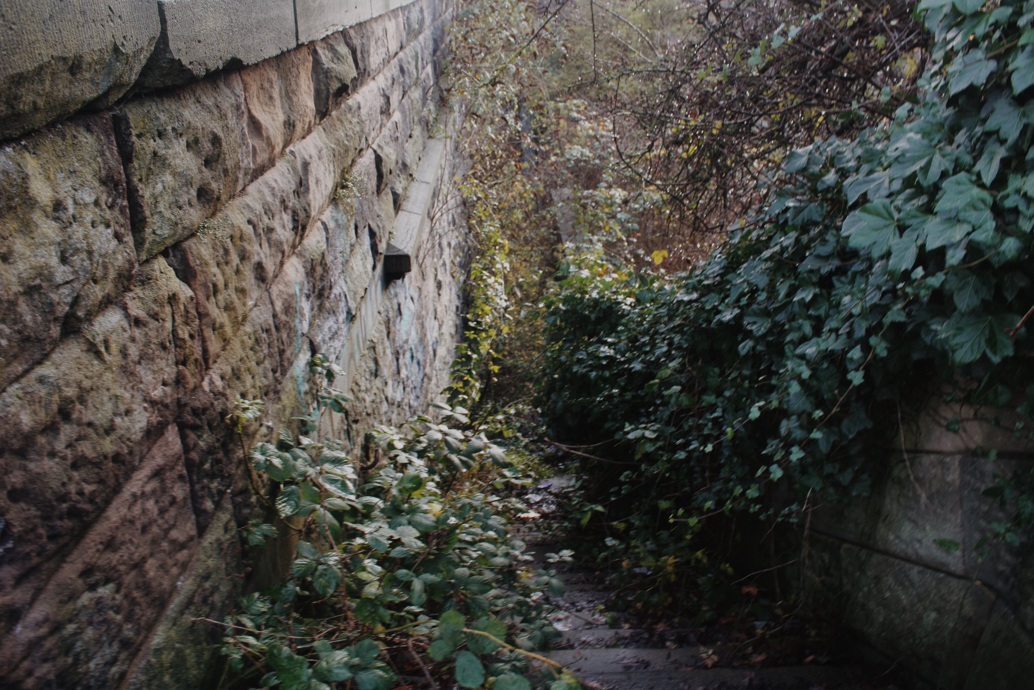
A significant amount of passenger amenities still remain. These were passenger steps from the underpass up to the North Wylam platforms, as well as a way to Roberts Street above.
