Felling
Felling Urban District Council Offices
Last Updated:
3 Nov 2023
Felling
This is a
Civic Building
54.951626, -1.567325
Founded in
Current status is
Extant
Designer (if known):
Henry Miller

Listed Grade II
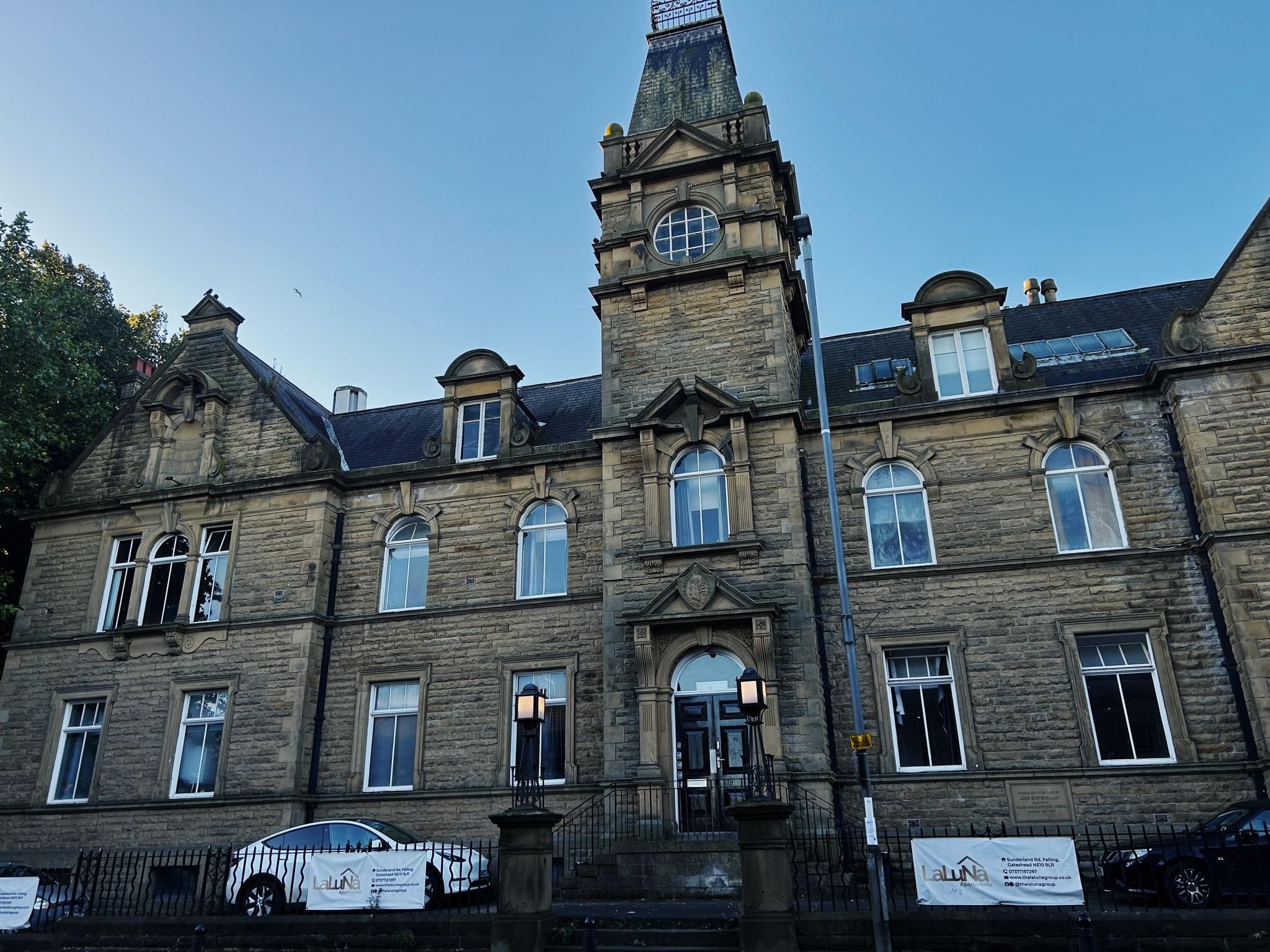
On Sunderland Road is the old Felling Urban District Council offices. It really does demonstrate the prowess of Tyneside at a time its influence was on an unprecedented scale, given the grandeur of a building to serve a relatively small community.
The offices were designed by Henry Miller in 1902, the surveyor of Felling UDC. It first sat in 1894, encompassing the surrounding villages of both Heworths, Windy Nook, Wardley, Follingsby, Carr Hill and Bill Quay. All were either substantial villages or settlements with an increasing population, so this unification gave a greater voice for a growing peoples.
The council presided over most local concerns. For example, the Felling UDC recommended a joint smallpox hospital for Jarrow, Hebburn and Southwick given there were very few beds for a growing population at the turn of the century. They also oversaw transport procurement as per the ambition to run a ferry from Felling for rail travellers from Sunderland, as well as requesting new tram stops for growing areas. Mail, political boundaries and traffic were also great causes of concern.
The Urban Council survived until 1974 when it was integrated into the borough of Gateshead, rendering this beautiful building useless. As far as i'm aware, it's recently been housing offices.
Listing Description (if available)


The two Ordnance Survey maps above illustrate the Felling area from the 1910s to the 1940s. Much of the areas growth had peaked by the 1900s with civic parks, churches and theatres dotting the urban landscape. Public houses were a staple sight in the area, given the distance to the railway station and colliery nearby. Housing did expand in these decades though, with further development south of the railway and around High Felling.

The 1890s map illustrates the area just before the construction of the council offices. As you can see, the area was already incredibly dense at the end of the 19th century, with 3 Christian churches of various denominations and a Zion Chapel on Providence Place. Only St Patrick's remains out of the four, but the melting pop of denominations and cultures likely comes from the shipbuilding and mining heritage of the area.

The Felling UDC offices in 2023, under the guise of what appears to be a housing association

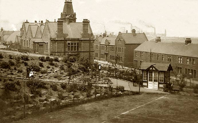
The side and rear elevations of the building from Felling Park and its tennis courts at time of opening. Unknown original source.

The offices can be seen in the centre in front of the large bowling green at the rear. Source: Historic England Archive (RAF photography) Historic England Photograph: raf_1cu_16000_o_16751 flown 23/08/1943
