

D62204K
Lumley Colliery
Lumley
54.825846, -1.545026
Charles Pit
Opened:
Closed:
c1790s
c1830s
Entry Created:
7 Feb 2025
Last Updated:
7 Feb 2025
Reclaimed
Condition:
Owners:
Earl of Durham
Description (or HER record listing)
The Charles Pit was one of the earlier workings in the Lumley portfolio, and entirely vanished off the maps apart from an old shaft which appears along the Harbour Waggonway on the Ordnance Survey from the 1850s. Very little is known about the site, but it was certainly well connected and coal was transported from here to Sunderland for onwards shipment. Though I have put the pit closed in the 1830s, it may have been extant until the 1840s as the Harbour Waggonway was still intact as per the tithe awards of that year.
The lasting reminder of the pit are the Charles Pit Houses. These were workers housing at the Charles Pit which stood in the field adjacent. This was another one owned by the Earl of Durham and had been operational from the 1790s until around the 1830s.
The Charles Pit was the scene of an awful disaster, when 9 men were severely burnt by a firedamp explosion in 1827. A young man named Foster was going into part of the mine with a lighted candle while 200 men and boys were down the pit.
These cottages were certainly here from the 1830s, as we can actually see them on an old tithe award from 1840. It's situated just below the junction in the 302 area. Charles Pit had totally vanished off the map by this time, so there's great potential these are much older than I can confirm.
I'm unsure whether these houses are still called the "Charles Pit Houses", but I hope so and surprised they aren't listed. They're one of the last material reminders of an industry which forged this whole area.

Ordnance Survey, 1861
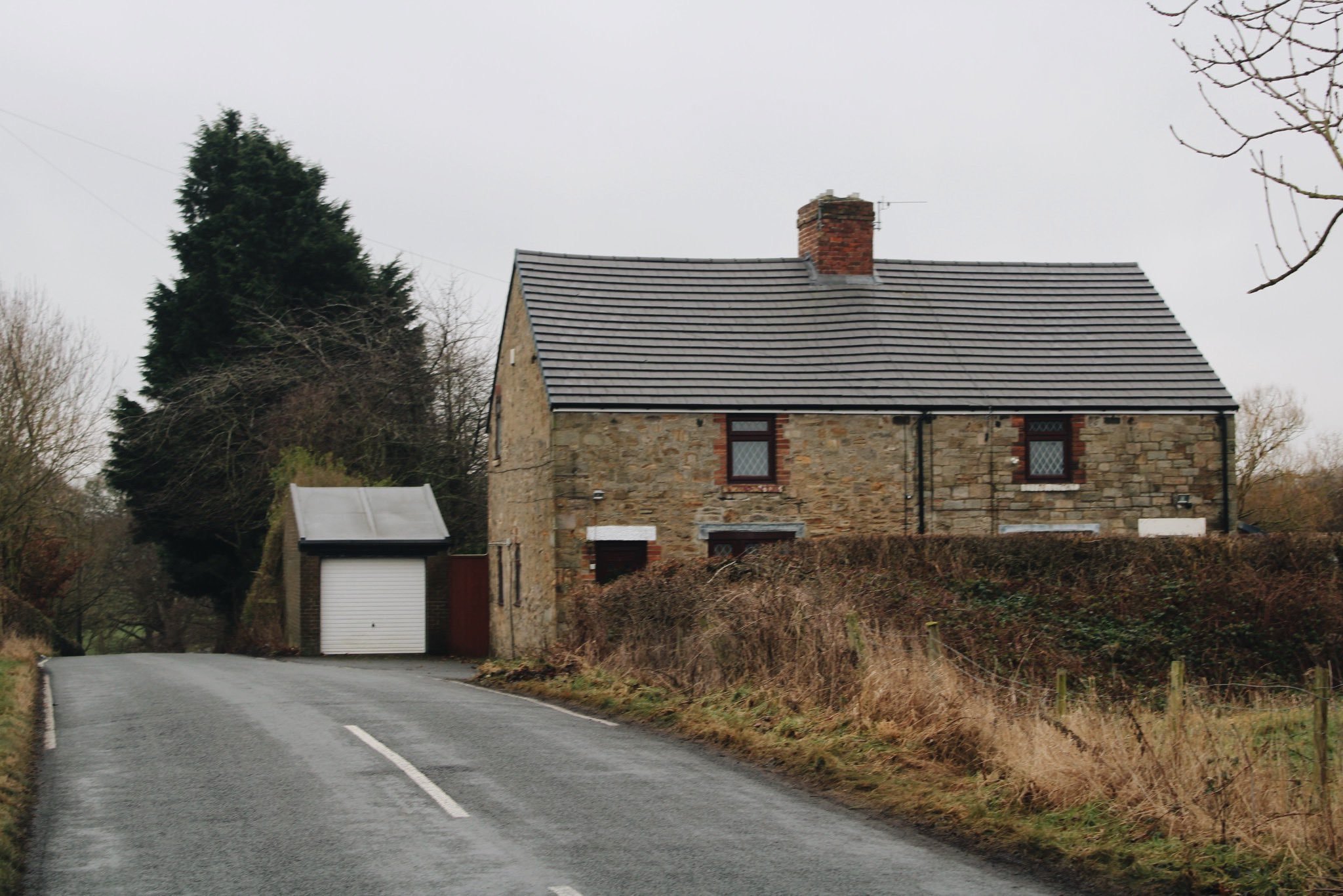
The Charles Pit Houses in January 2025
Have we missed something, made a mistake, or have something to add? Contact us

Historic Environment Records
Durham/Northumberland: Keys to the Past
Tyne and Wear: Sitelines
HER information as described above is reproduced under the basis the resource is free of charge for education use. It is not altered unless there are grammatical errors.

Historic Maps provided by